File:Catedral Santiago Chile.jpg
Hafi nakpɔ alesi eƒe lolome le :800 × 533 pixelwo. Other resolutions: 320 × 213 pixelwo | 640 × 427 pixelwo | 1,024 × 683 pixelwo | 1,280 × 853 pixelwo | 2,560 × 1,707 pixelwo | 4,752 × 3,168 pixelwo.
Gbale adoduia (4,752 × 3,168 pixels, file size: 7.92 MB, MIME type: image/jpeg)
Nya kpui aɖe
|
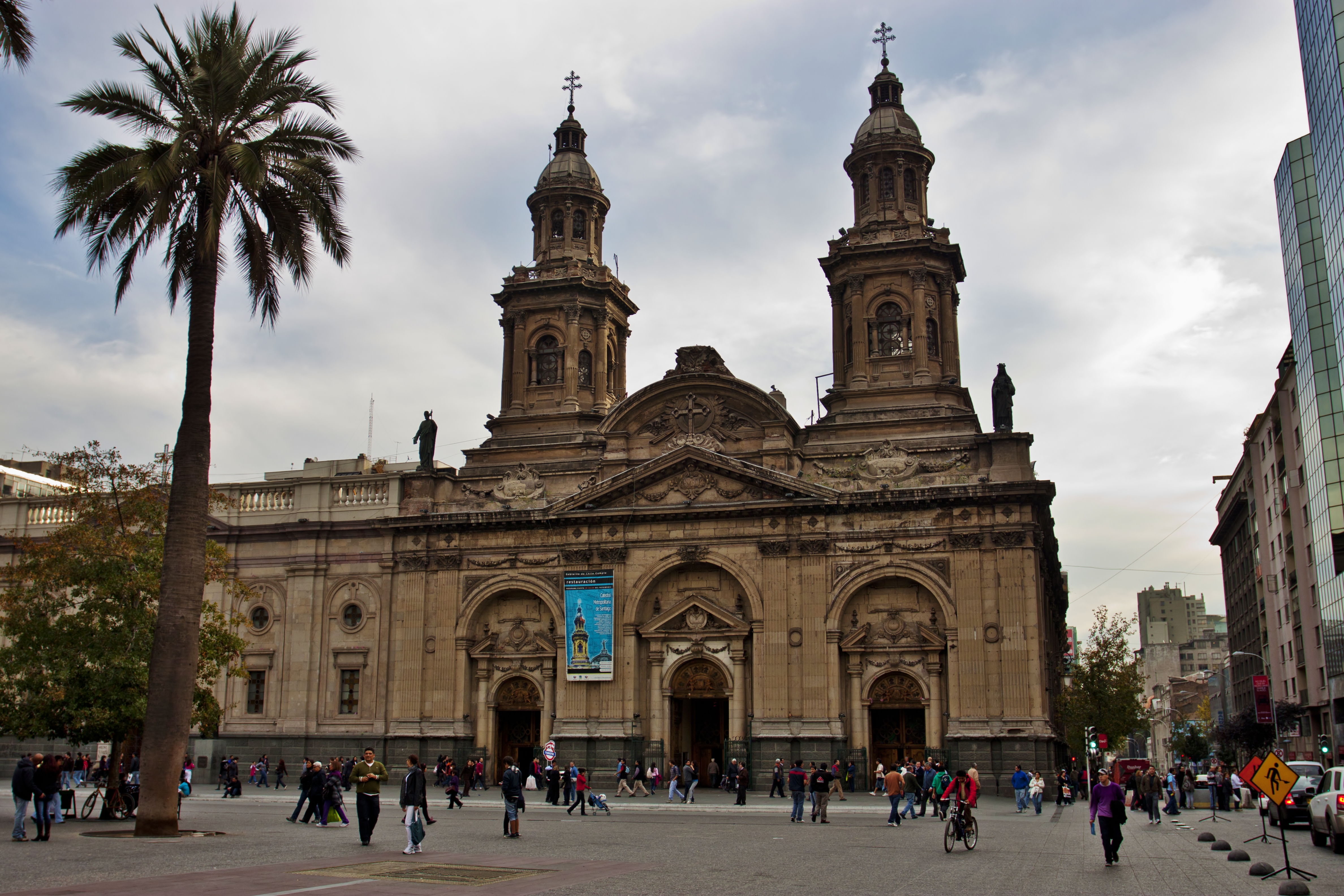
This is a photo of a national monument in Chile: 210
|
| Numeɖeɖe |
Catedral Metropolitana de Santiago.
|
| Ŋkeke | |
| Nyatakatsoƒe | IMG_1584 |
| Ewɔla | Nellu Mazilu from Mobile, Terra, Sol, Milky Way |
| Camera location | | View this and other nearby images on: OpenStreetMap |
|---|
Licensing
This file is licensed under the Creative Commons Attribution 2.0 Generic license.
- You are free:
- na ma – to copy, distribute and transmit the work
- to remix – to adapt the work
- Under the following conditions:
- attribution – You must give appropriate credit, provide a link to the license, and indicate if changes were made. You may do so in any reasonable manner, but not in any way that suggests the licensor endorses you or your use.
| This image was originally posted to Flickr by Jack Zalium at https://www.flickr.com/photos/7666975@N03/5730238859. It was reviewed on 29 Dame 2011 by FlickreviewR and was confirmed to be licensed under the terms of the cc-by-2.0. |
Nutsɔ ʋuvayiwo
Tia ŋkeke/gaƒoƒo ɖeka ne wòadi be yea kpɔ axa sia ƒe tata le ɣemaɣi
| Ŋkeke/Gaƒoƒo | Nɔnɔmetata sue aɖe | Goglome | Ezãla | Comment | |
|---|---|---|---|---|---|
| fifia | 02:49, 29 Dame 2011 | | 4,752 × 3,168 (7.92 MB) | Carlos yo | {{Information |Description=Taken at Latitude/Longitude:-33.444126/-70.650750. 1.56 km North-East Santiago Región Metropolitana Chile [http://www.geonames.org/maps/google_-33.444126_-70.650750.html (Map link)] |Source=[http://www.flickr.com/photos/kaiban/ |
Nyatakagbaa zazã
Axa aɖeke medo ka kple fael sia o.
Xexe me godoo ƒe agbale zaza
The following other wikis use this file:
- Ezã en.wikipedia.org
- Ezã id.wikipedia.org
- Ezã it.wikipedia.org
- Ezã ru.wikipedia.org